
Types of Land Surveys Explained
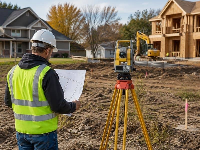
If you have ever been told you need a land survey, your first question is probably: what kind? There are several types of land surveys, and each one serves a different purpose. Ordering the wrong type can delay your project, cost extra money, or fail to meet the requirements of your lender, builder, or local government.
Boundary Survey
A boundary survey is the most common type of land survey. Its purpose is to locate and confirm the legal corners and edges of a property.
A licensed surveyor researches the property deed, reviews recorded plat maps, and then goes into the field to find or re-establish the physical corner markers. The result is a map showing the exact legal lines of the property.
Who needs it: Anyone who wants to know exactly where their property begins and ends. This survey is most commonly ordered for residential properties, especially when building near a property line, resolving a neighbor dispute, or confirming what you are buying before a real estate closing.
Topographic Survey
A topographic survey maps the physical features of a piece of land. Instead of focusing on legal boundary lines, it records the natural and man-made features of the land’s surface, including elevation changes, slopes, trees, bodies of water, roads, and existing structures. The result is a detailed map showing contour lines that represent changes in elevation across the property.
Who needs it: Architects, engineers, and developers use topographic surveys at the start of any construction or site planning project. If you are designing a new building, planning drainage, or grading a site, a topographic survey is typically required before design work begins. Homeowners planning significant landscaping or drainage improvements may also need one.
ALTA/NSPS Survey
An ALTA/NSPS survey, short for American Land Title Association and National Society of Professional Surveyors survey, is the most detailed and comprehensive type of land survey available. It combines boundary information with additional data points required by title companies and lenders for commercial real estate transactions.
An ALTA survey identifies property boundaries, easements, encroachments, improvements, utilities, and zoning classifications. It follows a strict national standard, which means its format is consistent regardless of which state it is prepared in.
Who needs it: ALTA surveys are most often required for commercial property purchases and refinancing of commercial properties. They are rarely needed for standard residential transactions but are considered standard practice in commercial real estate.
Mortgage Survey
A mortgage survey, sometimes called a location survey, is a simplified drawing that shows the position of a structure on a lot relative to the property lines. It does not set physical monuments in the ground and is less detailed than a boundary survey.
Its main purpose is to give a lender confidence that a home or building sits within the property boundaries and does not obviously encroach on neighboring land.
Who needs it: Lenders sometimes require a mortgage survey as part of a residential closing. It is important to understand that a mortgage survey is not the same as a boundary survey. It will not resolve a property line dispute and is not accepted by courts or building departments as legal boundary evidence.
Construction Survey
A construction survey is performed during the building process to ensure that structures are placed in the correct location according to approved plans. Surveyors stake out the positions of foundations, roads, utilities, and other improvements before and during construction.
This is an ongoing service rather than a one-time document. Surveyors may visit a site multiple times as different phases of the project are completed.
Who needs it: Contractors, developers, and engineers working on new construction, road building, or utility installation. Without a construction survey, even a small placement error early in a project can lead to expensive corrections later.
Subdivision Survey
A subdivision survey is used when a larger parcel of land is being divided into two or more separate lots. The surveyor measures the original parcel, designs the new lot layout according to local zoning regulations, and produces a plat map that must be reviewed and approved by the local government before it can be recorded.
Once recorded, each new lot has its own legal description and can be sold or developed on its own.
Who needs it: Landowners who want to divide their property to sell part of it, developers creating new residential or commercial lots, and anyone going through the legal process of separating a combined parcel into individual pieces.
How to Choose the Right Survey
The type of survey you need depends on what you are trying to accomplish. Here is a simple breakdown:
- Buying or selling residential property: Boundary survey or mortgage survey, depending on lender requirements.
- Buying or selling commercial property: ALTA/NSPS survey.
- Planning a new building or development: Topographic survey, followed by a construction survey during building.
- Dividing land into separate lots: Subdivision survey.
- Resolving a property line question: Boundary survey.
When in doubt, call a licensed land surveyor and describe your situation. A good surveyor will tell you exactly which type of survey fits your needs.
Frequently Asked Questions
Do I always need a survey when buying property?
Not always, but it is strongly recommended, especially for vacant land or properties with no recent survey history. Your lender or title company may require one depending on the transaction.
Can one survey serve multiple purposes?
Sometimes. An ALTA survey covers boundary information along with several other requirements, making it useful for multiple parties in a commercial transaction. Ask your surveyor what can be combined to save time and cost.
How long does a land survey take?
A standard residential boundary survey typically takes a few days to a couple of weeks, depending on the parcel size and complexity. More detailed surveys such as ALTA or subdivision surveys can take longer.